
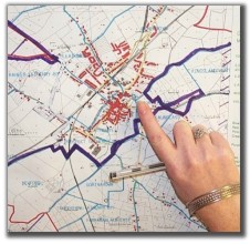
In order to carry out a census every household in the country has got to be contacted by a census enumerator. This means that the whole country has to be divided and mapped into areas containing approximately 350 houses each. These areas are known as Enumeration Areas (EAs) and the 'Census Geography' section mapped out approximately 4,400 of them for Census 2006!
The boundaries of all administrative and geographic areas (i.e. counties, towns, suburbs, Electoral Divisions and townlands) are identified on each EA map.
 |
|
A map detailing an enumeration area (EA) outlined in purple. |
 |
|
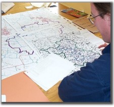
One of the mapping staff defining an enumeration area.
|
 |
|
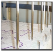
Some of the EA maps in storage at CSO Swords.
|