This page provides an extract from the Tailte Éireann (formerly Ordnance Survey Ireland) document, Urban Settlements BUA- Methodology/Rulebase v1.0.
The Detailed Methodology / Rulebase as outlined in the document is reproduced below with the kind permision of Tailte Éireann.
The term "BUA" is defined as "Built Up Area".
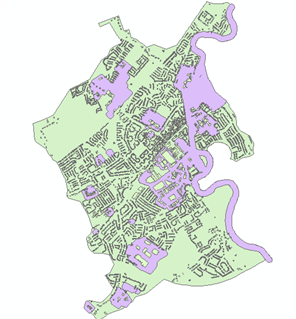
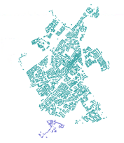
A ruleset requires building of a BUA based on groupings of 100 buildings at least within at least 65m distance. This was broadened from residential initially to include Business Parks/Industrial Estates/Retail Parks.
Prime 2 features included in the building of the BUA Hull and criteria are listed below
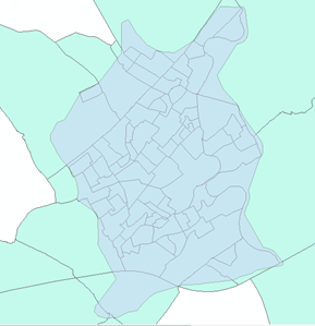
The features are identified for inclusion based on the criteria listed and a concave hull is drawn around the features to form the BUA Hull for the settlement
| Prime 2 Feature | Definition | Criteria | Example |
|---|---|---|---|
| Building Polygon | All buildings excluding Outbuildings | Buildings need to be within 65 meters of another building Within a group of 100 buildings or more Building groups of 100 buildings or more need to be within 500m of each other. |
 |
| Vegetation Polygon | Pitch GAA Pitch Rugby Pitch Soccer Pitch Hockey Tennis Court Athletic Track Race Track Pitch and Putt Sports Ground Sports Ground Multiple Use Show Ground Polo Ground |
All features within the original Settlement Boundary | 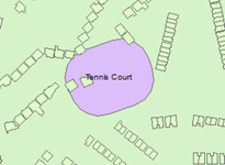 |
| Artificial Polygon | Pitch GAA Pitch Rugby Pitch Soccer Pitch Hockey Tennis Court Athletic Track Horse Racing Track Pitch and Putt Sports Ground Sports Ground Multiple Use Show Ground Polo Ground Dog Racing Track Basketball Court Sports Arena Sports Surface Sports Surface Multiple Use Playgrounds |
All features within the original Settlement Boundary | 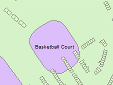 |
| Water Polygon | River River Tidal Canal | All features within the original Settlement Boundary | 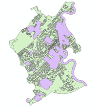 |
| Site Polygon | Business Park Retail Park Shopping Complex College Caravan; Park Hospital Complex School Industrial Estate |
All features within the original Settlement Boundary | 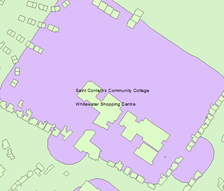 |
| Overlapping Settlements | Example |
|---|---|
| Using this distance based ruleset outlined above buildings can fall within more than one settlement boundary and considered as part of multiple settlements (This is evidenced in towns that are in close proximity to each other). | 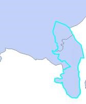 |
| In the scenario where a building is defined as belonging to 2 or more separate settlements the distance is calculated from the building to the centroid of the surrounding settlements. The building is assigned to its closest settlement group to keep settlements distinct from each other. | 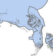 |
| Nested Small Areas | Criteria |
|---|---|
| Small Areas that Intersect with the Hull Boundary are selected and the % of the Small area that falls within the BUA Hull is calculated |
60% of the Small area needs to be contained within the BUA Hull
If 60% or more of the Small area falls within the BUA Hull that full Small Area is selected for inclusion in the final settlement
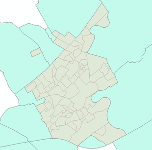
Small areas that meet the criteria above are then dissolved to create one area boundary for the settlement. This can be made up of a single or multi part polygon |